Tools
🧰Tools
Small helpers that run on the phone alone — no network, no server, no login. Under "More" → Tools.
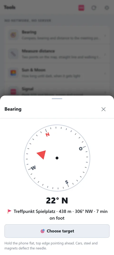
- 🧭 Bearing: compass rose with an arrow to the target — active meeting point, a family member, a marker or alert place. Plus distance, course and walking time. On iPhone tap "Start compass" first. Hold the phone flat; cars, steel and magnets deflect the needle, and an inaccurate compass shows a warning.
- 📏 Measure distance: points A and B from the map, your own location or a known place. Straight line, direction, walking time at 4 km/h — paths are longer, in the mountains often double.
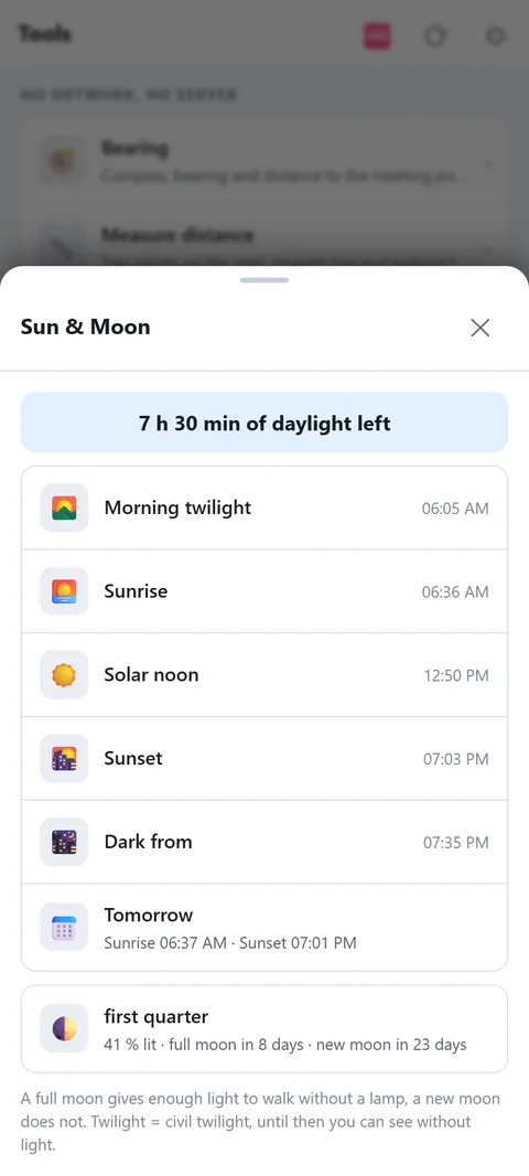
- 🌅 Sun & Moon: "3 h 20 min of daylight left", twilight, sunrise and sunset today and tomorrow, moon phase with days to full moon. Without power, light decides what is still possible.
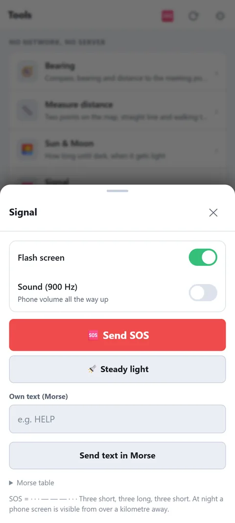
- 🆘 Signal: SOS or your own text in Morse — the screen flashes white/black, optionally with a 900 Hz tone. Steady light as a torch. At night a phone screen is visible from over a kilometre. Morse table for reference.
- ⚡ Thunderstorm: press at the lightning, again at the thunder: distance and whether it is getting closer. Under 3 km: seek shelter.
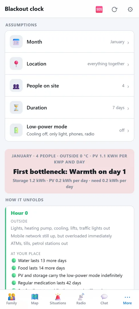
- ⏱️ Blackout clock: set month, location, people, duration and low-power mode — the clock lays your supplies, energy (batteries, PV) and people on a timeline from hour 0 to day 30. On the left what fails outside, on the right what you still have, with a traffic light. Season counts: PV yield per month, outside temperature (mountains four degrees colder), daylight, water need in summer, wood use in winter. At the top the first bottleneck, below the levers that move it. To calculate with your numbers: storage and solar under Energy, firewood, gas bottles for the heater and gas cartridges as fuel in Supplies (the clock recognises them by name: wood, bottle/propane, cartridge), people with medication. Also linked from the "Blackout" situation.
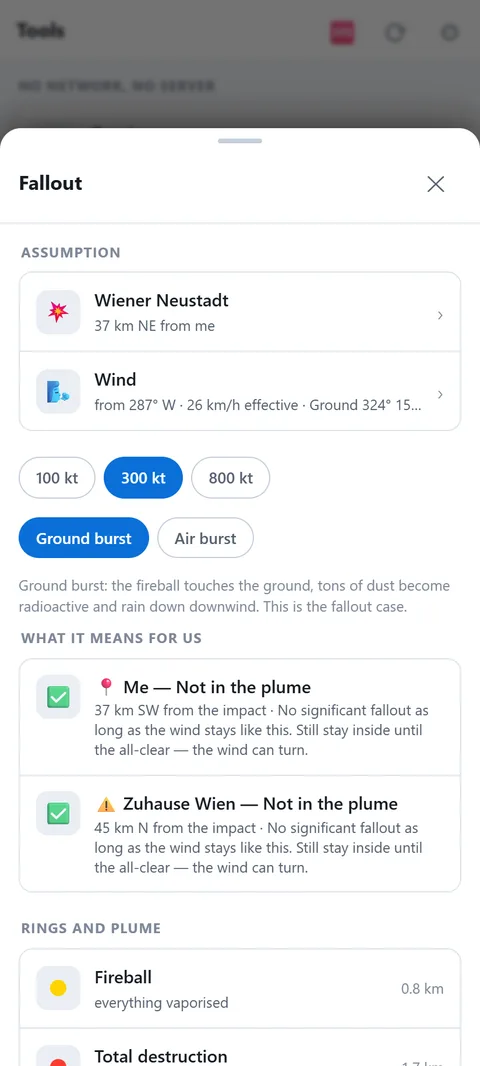
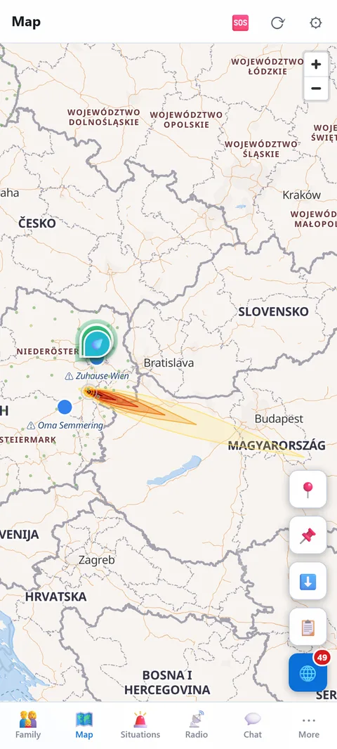
- ☢️ Fallout: choose the impact — major city, nuclear plant, military base, the Warsaw Pact planning targets for Austria or a point on the map, all sorted by distance. Yield 100/300/800 kt, ground or air burst. The wind is real: ground and altitude for the impact point, automatic with a network, by hand without. For you and your alert places it then says: affected or not, fallout arrives in x hours, dose outside and inside, whether there is time to drive crosswind, how long to stay inside. For nuclear plants the cloud without blast, with 5/30/100 km zones. "Show on the map" lays rings and plume over the map for a day. Also linked from the "Radiation" situation. Approximation after Glasstone & Dolan, factor 2 to 3 — when it happens, radio and official readings come first.
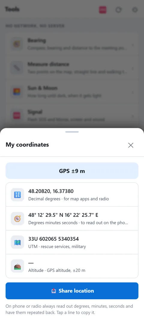
- 📍 My coordinates: decimal degrees, degrees-minutes-seconds, UTM and altitude — to read out on the phone or radio. Tap a line to copy, "Share" sends the position with a map link.
Compass and GPS are approximations. When in doubt compare map and terrain — a wrong arrow in the woods is worse than none.